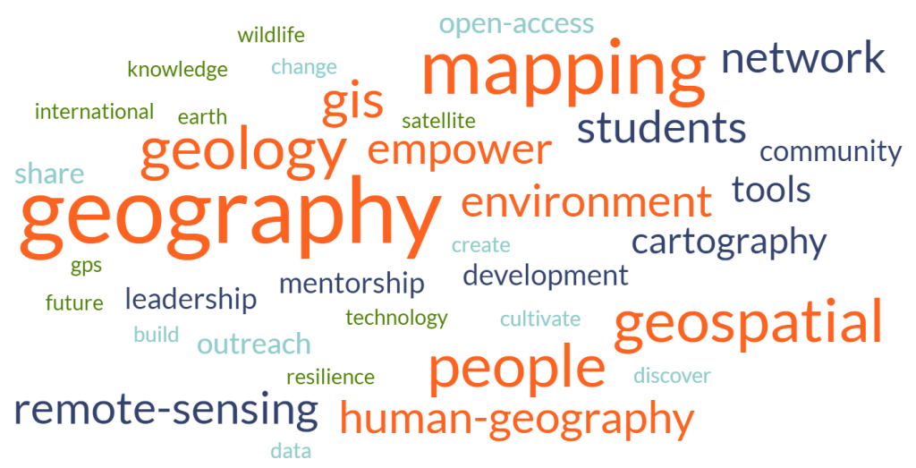
The yMap series is a hallmark of YouthMappers at UArk where we ask the question—Why map?
There are many ways to present and visualize empirical data, but geographers, understanding that everything occurs somewhere in space, specialize in geographic data and mapping spatial phenomena. In the yMap series, we discuss why maps are powerful modes of data communication, using a variety of research topics, data/tools, and study areas. Events in the yMap series consist of lectures, seminars, and workshops and are led/designed by graduate students based on their area of expertise.
Topics within the yMap series include:
- yGeography
- yCartography
- yRemoteSensing
- yHumanGeography
- yGeology
- ySpecialTopic*
*ySpecialTopic will vary depending on who is presenting and whatever the subject/idea may be.
Visit the events page to see our calendar and scheduled yMap series content.
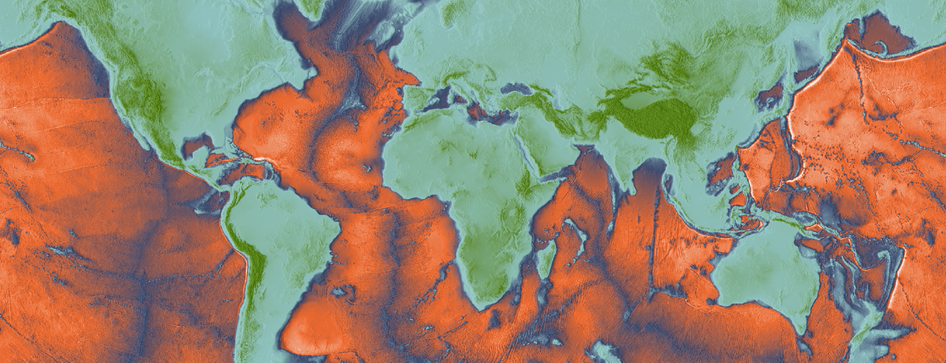
Maps are important. Everyone understands and appreciates good maps. GIS users create and work with maps every day—they provide the basic experience and a practical interface for the application of GIS. Maps are also the primary way that GIS users share their work with others in their organizations and beyond. Maps provide a critical context because they are both analytical and artistic. They carry a universal appeal and offer a clarity and shape to the world. Maps enable you to explore your data and to discover and interpret patterns.
Mapping is for everyone: New ways to make, see, and use maps | ESRI